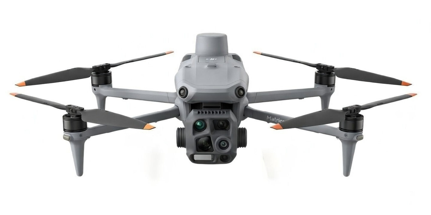
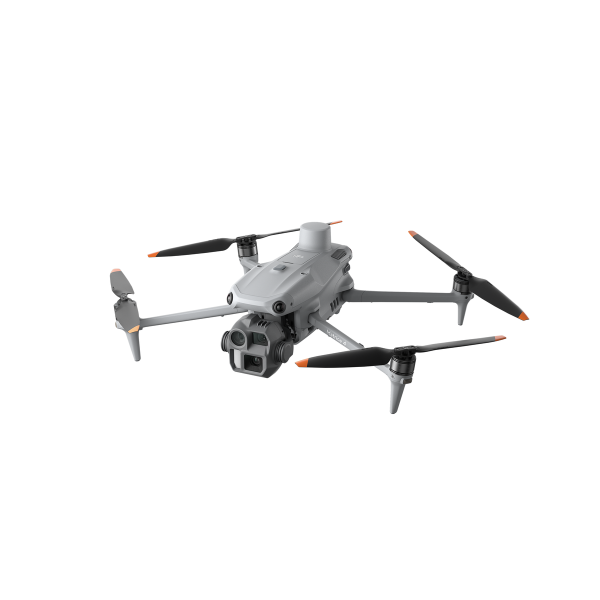
Matrice 4T β’ 4E β’ 400 Series β Professional drones for fire rescue, surveying, agriculture, and industrial inspection. Global shipping available.
Enterprise Clients
Countries Served
Flight Hours
Expert Support
Choose the perfect enterprise drone for your mission
POPULAR
Thermal Enterprise Drone
NEW
Mapping & Surveying
FLAGSHIP
Professional Powerhouse
Professional applications across industries
Thermal imaging through smoke for search and rescue operations
Centimeter-level accuracy with RTK positioning
Detect heat anomalies and infrastructure issues
Monitor crop health across thousands of acres
Progress tracking and as-built documentation
24/7 surveillance with night vision
Watch the Matrice series in real-world operations
Trusted by professionals worldwide
"The Matrice 4T's thermal imaging saved lives in a factory fire. We located trapped workers through dense smoke in minutes."
"With the RTK module, we achieve centimeter-level accuracy. The 4E is perfect for orthophoto mapping."
"Managing thousands of acres with the 4T. What used to take weeks now takes one day. Excellent investment."
Contact us for quotes, bulk pricing, or product questions. WhatsApp response within minutes.
π¬ Chat on WhatsApp